
The London Metro Map is licensed under a Creative Commons Attribution-NonCommercial-NoDerivatives 4.0 International License
The London Metro Map combines the tube and train network. It is a deliberate diagrammatic departure from the official TfL Tube Map and Tube and Rail Map.
A new graphic device is introduced where a grey background carries the tube network in bold, acting on top of the background, distinguishing the rail network with white lines that act below the grey background. This helps distinguish the networks and divide the complexity into two simpler parts.
London's Rail and Tube Services - compare complexities with the official TfL/National Rail map
Tube Map - the official Transport-for-London (TfL) Underground map
Tube Map Central - 'dedicated to the Science and Art of Transit Map Design'
London Underground Map - Harry Beck's diagram from 1933
History of the Tube Map - from the Londonist
Mapping London - a mirad of wonderfully useful maps
format variant - scalable vector graphic (svg)
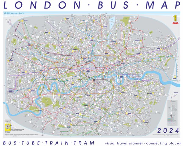
try the London Bus Map - a visual journey planner for buses, tubes, rail, tram and ferries
Keen to message? Use: inform[at]quickmap.com
Quickmap.com - publisher of printed City Quickmaps
Quickmap Limited respects your privacy and does not use cookies, store your data or pass personal data onto others. See the 'small print' for site usage.
